Services
Remote sensing data
New Data
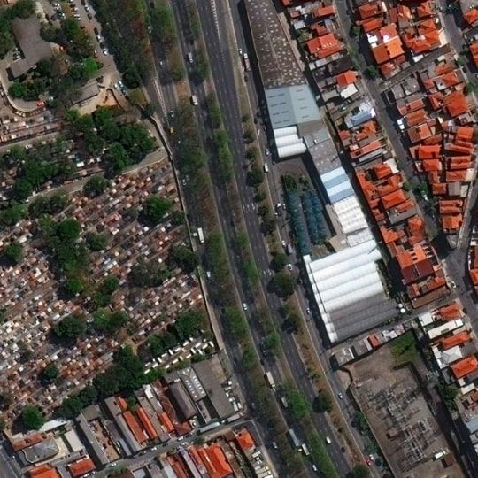
The most effective way to provide remote sensing data is to take satellite images in advance. If you are planning to use and purchase satellite images in your projects, but have not yet decided on a budget, the best solution will be to place an order for space photography of the necessary areas without obligations to buy out right now (speculative shooting).
The provision of spatial data can be carried out in the form of "raw" satellite images or with the implementation of a complex of photogrammetric, cartographic and thematic works. Satellite images have different technical characteristics and different costs, which depends on the remote sensing satellite, the product of interest and the order volume. When ordering a large amount of data, special conditions apply!
There are several requirements for satellite tasking – time, cloudiness, inclination angles, etc. The geometry of AOI is also important.
Archive Data
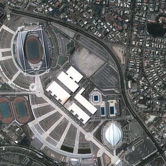
If you have already chosen your area of interest (AOI), send us its boundaries in SHP, TAB, KML, KMZ file formats (only in WGS-84 coordinate system) or send us its coordinates. We will select images that fit your needs fully. We will also send additional schemes, shp-files, quick-looks of satellite images. When all necessary images are selected, we make a cost calculation for the customer. In case no suitable imagery is available, we will offer the customer a new satellite surveying.
Photogrammetry
Seamless orthophotomosaic creation
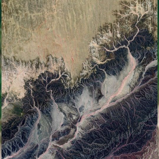
Orthophotomosaic is the result of merging several orthorectified images into one single image.
Orthorectified images help specialists to create orthophotomaps of any scale and any territory. This method significantly expands opportunities of remote sensing data application in topography, civil engineering and surveying.
Orthophotomap creation
Orthophotomap consists of a several orthorectified images. Firstly, specialists of photogrammetry rectify y-parallax and process GCPs. Then they use a DTM to create the orthophotomap.
Specialists use orthorectified aerial images of high quality and precision to create an orthophotomap. Space-borne (satellite) images with high and ultra-high resolution also can be used for the orthophotomap creation. In addition, using satellite images instead of aerial images can accelerate the process of creating an orthophotomap.
Professionals of topography, geodesy, geology, hydrology, ecology, landuse management, civil engineering actively use orthophotomaps in their work.
Photogrammetric works
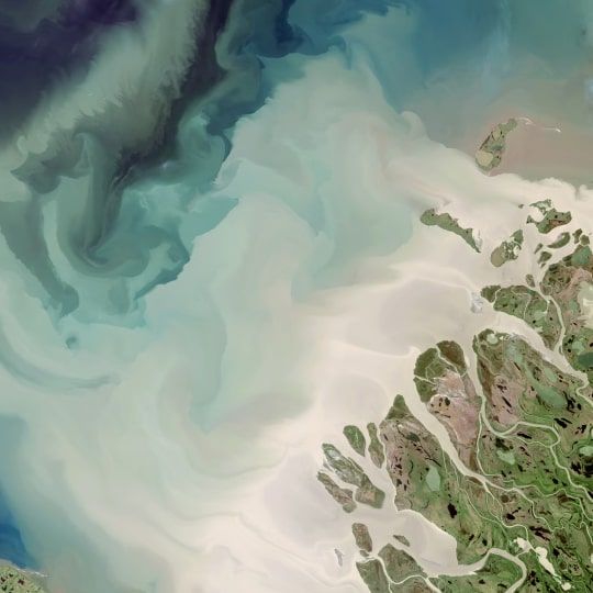
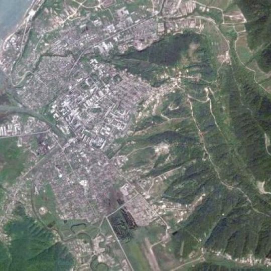
The main applications of digital transformation are topography and cartography. In creating and updating maps for various purposes from aerospace images, transformed images of the terrain in the map projection are created. These images can be created as a result of processing a single image or from images located in a route with overlaps. Another area of application is GIS, where the data obtained as a result of photogrammetric processing, thematic mapping (decryption) of objects is performed. Digital transformation is performed with the accuracy corresponding to the requirements of current regulations to the accuracy of maps of the corresponding scale.
Radar data processing
Radar remote sensing data processing
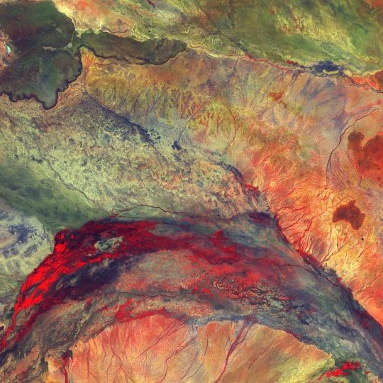
The main advantage of the radar remote sensing is the ability to collect imagery regardless of the weather conditions and the time of day. The microwave radiation can go freely through clouds and unlike the infrared or visible range it doesn't need the daylight.
Qualitatively processed radar data can be a good alternative of images in visible range.
The main application of the data is ecological monitoring, environmental pollution monitoring, Earth's surface deformation monitoring, displacements monitoring.
Displacements and deformations’ monitoring of the earth's surface and structures
It is not necessary to use expensive GPS-monitoring for exploring displacements and deformations of the earth's surface. Nowadays we have a powerful and effective tool - radar interferometry, which can be used as an alternative to GPS-monitoring. Radar interferometry allows to make precise measurements on vast territories without using expensive equipment.
Radar interferometry detects displacements of the surface and of all objects located on it with the accuracy up to several millimeters. The main advantage of the radar interferometry method – independent remote assessment of changes on a large territory (from tens to hundreds sq.km.). In addition, the dataset of satellite images, that is used for calculations, updates up to 8 times per month.
Thematic data analysis
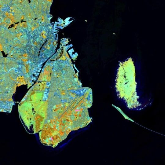
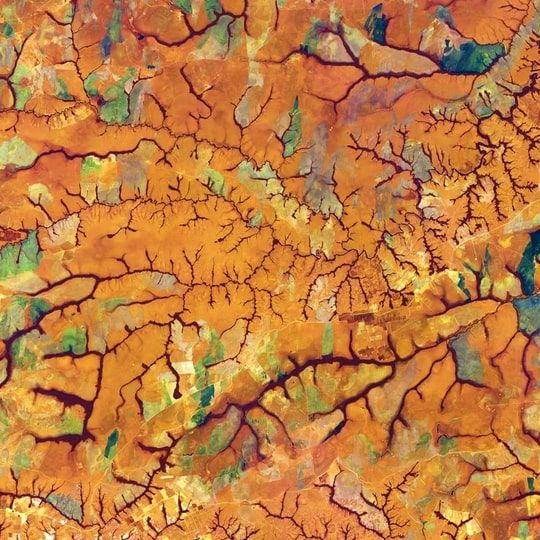
Based on radar data, practical solutions are created that are used in rural and forestry enterprises, oil and gas industry enterprises, and environmental organizations.
Let us look at some examples of thematic data analysis:
-
Monitoring the state of forests. Determination of the area of woodlands, the composition of forest species, wood reserves.
-
Study of the structure of the earth's crust. This method is used in the exploration of mineral deposits and the study of seismic activity.
-
Monitoring of agricultural land. Monitoring the state of plant crops, carrying out sowing, reclamation and harvesting operations. With the help of radar data, you can predict the volume of the future crop.
-
Creation of cartographic materials, detailed city plans, topographic maps, and terrain models.
-
Environmental monitoring. Determination of the zone of environmental pollution, the place of dumping of harmful substances or the formation of unauthorized landfills.
-
Assessment of damage in emergency situations. Aerial and satellite imagery can determine the damage caused by natural disasters. Remote monitoring also facilitates the process of evacuating people and restoring destroyed objects.
-
Study of the water surface, solving problems in glaciology (determining the thickness of ice, the location and movement of glaciers), detection of sea and river vessels.